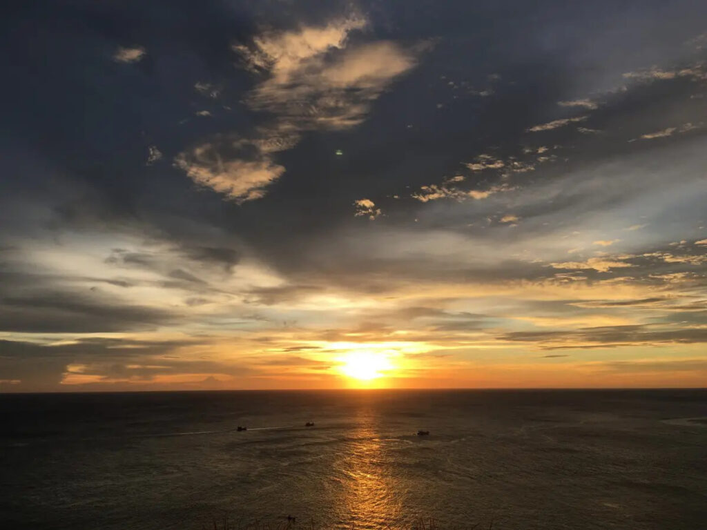
Explore the wanders that Phuket has to offer with Royal Phuket Marina, A taste of freedom and relaxation!
Guide to Exploring Phuket
Here is the guidance of Phuket. how to exploring Phuket and how to enjoy the beautiful place in Phuket because there have a lot of attractions. from natural to man-made, from land-based to water activities, even stunning beaches to the great local foods.

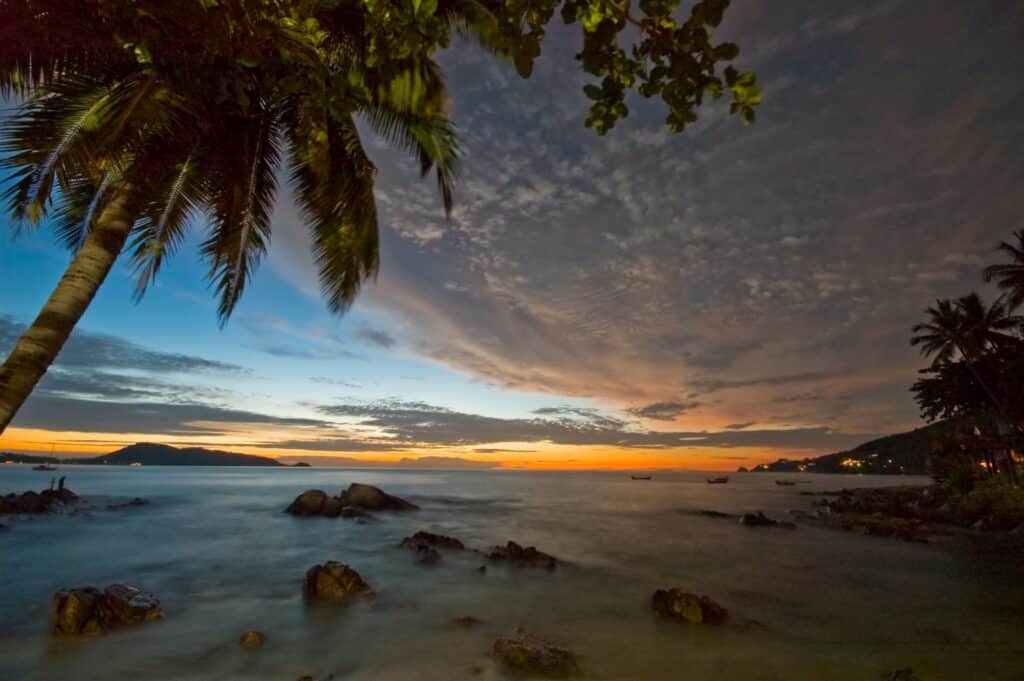
Patong
Patong (pronounced bpàa dtaawng) (หาดป่าตอง) is the largest beach resort on the island of Phuket. This article also includes Kalim, a series of small beaches just north of Patong.
Patong is a party capital of Asia, with a world-famous night life and a great beach. Mostly made up of hotels, world class restaurants, nightclubs and various tourist attractions, this is a hedonists’ heaven of night life, with numerous entertainment complexes and countless bars clustered together in and around Bangla Road and the beach road. The town has a very obvious female, transgender and male sex industry to cater to every taste, however to only view it as this is a mistake, it offers so much more, for families and couples too.
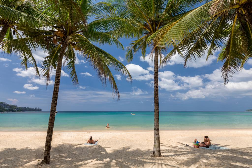
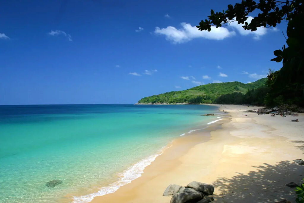
Kata Yai
Kata Yai (หาดกะตะใหญ่ Hat Kata Yai) and Kata Noi (หาดกะตะน้อย Hat Kata Noi) are two adjacent beaches on the west coast of Phuket, directly south of Karon. Kata Yai is sometimes called simply Kata Beach (หาดกะตะ Hat Kata).
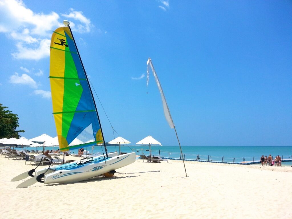
Karon & Kata
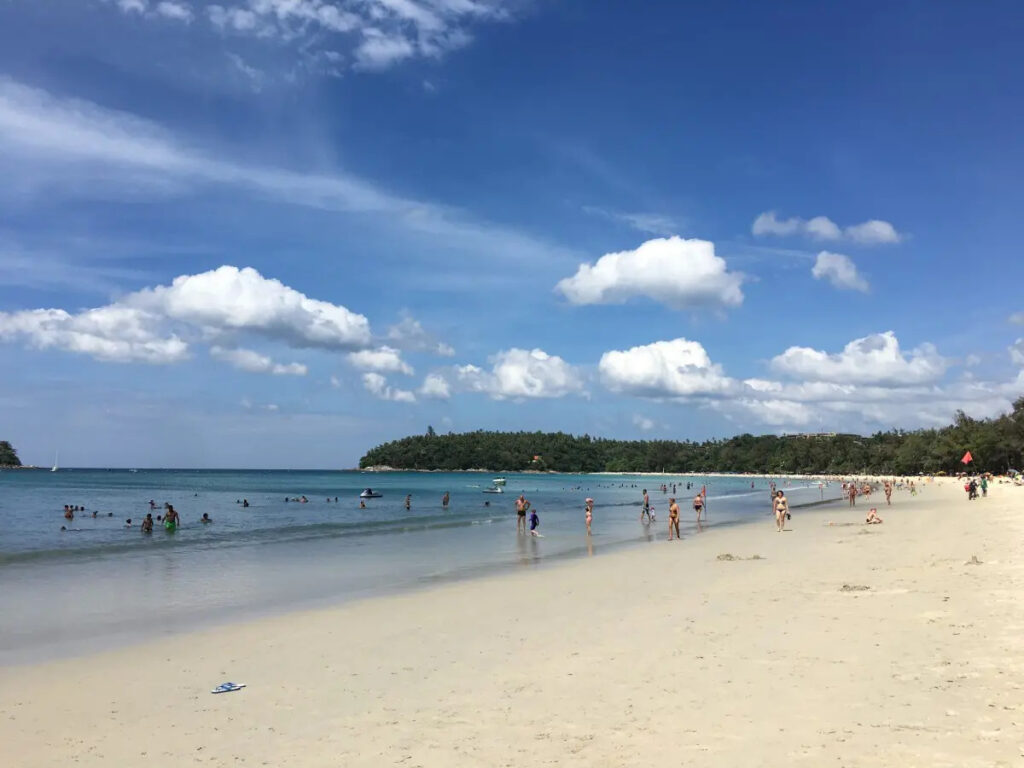
Karon Beach (หาดกะรน Hat Karon) is on the west coast of Phuket, south of Patong and north of Kata.
Karon is the second largest of Phuket’s tourist beaches at 3 km length, some 20 kilometers from town, and is pronounced “Garon”. Not many hotels have direct beach frontage – most are across the road (which is not a busy one). Therefore, practically the entire beach is public. Large resort complexes line the opposite side of the road from the shoreline, but the long, broad beach itself has no development. The sand is very white, and squeaks audibly when walked upon. The southern point has a fine coral reef stretching toward Kata and Bu Island. Also, there is a wide pedestrian / bicycle path on the beachside of the road running the length of the beach.

Kamala
Kamala (กมลา) is on the west coast of Phuket, just to the north of Patong, and immediately south of Surin Beach.
Kamala, pronounced “Ga Ma Lar” provides a haven for those who prefer the quieter life. Although the southern end of the beach can get busy in the high season, the northern end is peaceful all year round. “Rim Haad” (Beach Road), at the southern end, has a number of small 20-30 room hotels for the low/medium budget traveller. Friendly service and village feel and a diversity of restaurants and small bars can be found on this small road. Cheaper food options/market stalls can be found on the main Kamala Road.
Surin
Surin Beach (อ่าวสุรินทร์ Ao Surin, also หาดสุรินทร์ Hat Surin) is on the west coast of Phuket, about 15 km north of Patong.
Surin Beach still has a small village atmosphere, but this is gradually changing as more and more major housing developments and hotel projects get underway. Accommodation is not cheap and the best prices are around 500 baht in the low season.
The beach itself has clear water and beautiful white sand, and is lined with tall casuarina trees and small Thai style restaurants. While one of the quieter beaches in Phuket, hawkers can still be a minor nuisance, although most are just content to walk about without actively getting in your face.
Naithon & Naiyang
Nai Thon (หาดในทอน Hat Nai Thon) and Nai Yang (หาดในยาง Hat Nai Yang) are two adjacent quiet beaches in northern Phuket. There are a few hotels, guesthouses and restaurants in Nai Thon. The atmosphere is generally laid back and quiet. New hotel projects are in the process of buing built so it will change here too.
Nai Thon nestled at the foot of high hills has a fine strip of sand. This quiet bay is suitable for swimming.
Sirinat National Park (อุทยานแห่งชาติสิรินาถ) covers an area of 90 square kilometers, stretching all the way to the island’s northern tip. The park headquarters are located on Nai Yang, which is blessed with shady pine trees providing excellent opportunity for swimming and relaxation. Off-shore is a large coral reef which serves as habitat for several species of sea life, particularly the sea turtles.
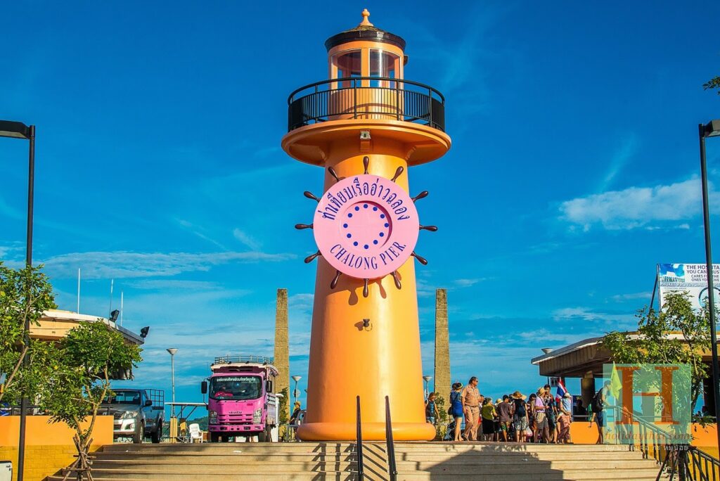
Chalong Bay
Chalong Bay (อ่าวฉลอง Ao Chalong) is on the east coast of Phuket. This is Phuket’s principal boat anchorage and the island’s largest bay, 11 kilometres south of the town. It is very picturesque but not suitable for swimming.
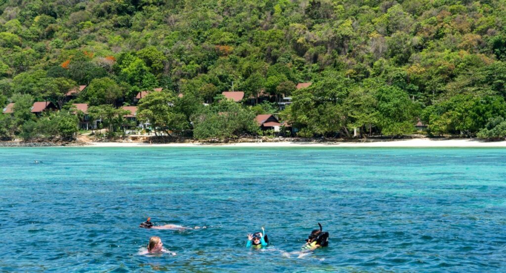
Boats can be chartered to go to some small island south of Phuket. A number of restaurants are on the road leading to the bay. The area where virtually all scuba diving and snorkelling trips depart from.
Cape Panwa
Cape Panwa (แหลมพันวา Laem Phanwa or หาดพันวา Hat Phanwa) is a town in Phuket. Panwa is some 10 kilometres from Phuket Town. The southernmost tip of this cape is home to a Marine Biological Research Centre and Phuket’s Aquarium where visitors may inspect several hundred exotic, grotesques, and flamboyantly colourful marine species found in the teeming waters of Phuket and elsewhere.
There are always local taxis standing around ready to take you anywhere on the island. The pricing is quite expensive on Phuket compared to the rest of Thailand, but that comes with it being a tourist driven economy. You will find no tuk-tuks in this area, but a wide array of taxis and vans. They dont use meters but rather have set prices for every area on the island
Nai Harn
Nai Han (หาดในหาน Hat Nai Han), more commonly spelled and pronounced, Nai Harn, is a village and a beach of the same name at the southernmost tip of Phuket, near Phromthep Cape. The northeastern bit of Nai Han is Ao Sen (อ่าวเสน-Sen Bay).
Some 18 kilometres from Phuket Town, south of Kata Noi and north of Phromthep Cape, Nai Harn is not Phuket’s longest beach, but it borders the most gorgeous lagoon on the island. The middle of the beach is dominated by the Nai Han monastery, which has prevented excessive development and is the reason that the beach is generally less crowded than other spots on the southern part of the island.
Rawai
Rawai (หาดราไวย์ Hat Rawai) is a seafront village in Phuket. The north part of Rawai is known as Hat Mittraphap (หาดมิตรภาพ), and has some beachfront, while the southern portion is the urban area and a port called Laem Ka (แหลมกา).
Rawai is located at the southern tip of Phuket. It is much less touristy than nearby Kata and Patong beaches and an excellent place to experience some real Thai culture. This palm-fringed beach is best known for sea gypsies, a formerly nomadic fishing minority believed to be of Melanesian descent.
Krabi
The stunning beach and sea-mountain scenery of Krabi is famous with many visitors extolling some of the beaches here as among the most beautiful in the world.
This is geographic extension of the karst sea-mountains of Phang Nga, reaching south into deeper, clearer waters and thous offering fine snorkeling and diving. In the northeast monsoon season anchorages here are protected, thought the region is completely exposed during the southwest monsoon. First discovery by cruising yachting and backpackers in the 80s, there are now several 5-star resorts and many excellent restaurants. Yet in Ao Nang budget bungalows still exist.
Krabi Town, with provisioning of a similar standard to Phuket available, can be accessed from Phra Nang by long-tail boat or dinghy, or by road from Ao Nang.
Phi Phi Island (Maya Bay)
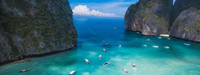
The Phi Phi Islands lie approximately 18 miles south of Krabi, the largest and most developed being Phi Phi Don. If you plan to spend several days here, Ton Sai Bay is the most convenient for shopping or transport back to Phuket, Krabi or neighboring island. Now well established a southern Thailand’s most popular destination, the islands are encircled by water so clear you can almost see the seabed from the surface. The main island of Phi Phi Don is geologically two islands joined together by a sand spit just above sea level, with a large expanse of fringing reef in the northern bay.
Despite the roughly north-south orientation of the islands, the 2004 tsunami wave wrapped around the western cliff-faces to flood both the north and south bays of the low isthmus, causing incredible damage and great numbers of fatalities. Phi Phi has bounced back to cater to the thousands of tourists who flock there each year.
The honeycombed cliff-faces rising from crystal clear waters, together with the laid-back ambiance, will always attract many visitors from the neighboring tourist hubs of Phuket, Krabi and Phang Nga provinces. Approaching Phi Phi from the south take care to avoid both Hin Bida approximately 3 miles southeast of Koh Bida and Hin Klai 2 miles east of north Phi Phi Le.
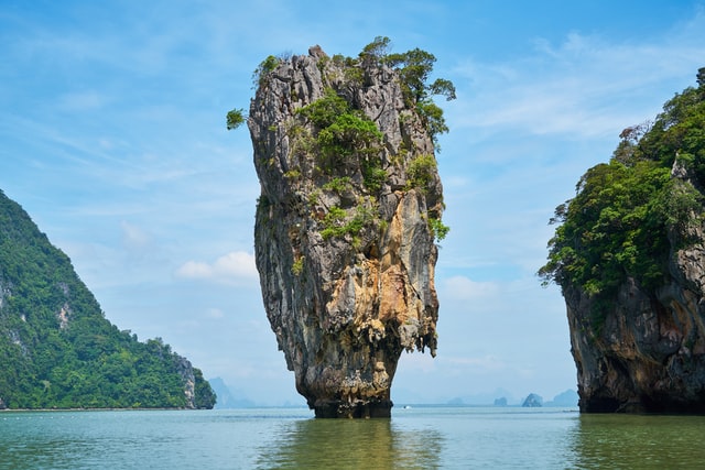
Phang Nga Bay & James Bond Island
The sheer-sided sea mountains that rise vertically out of Phang Nga Bay form some of Thailand’s most spectacular scenery. Images of Phang Nga have travelled the world and shaped perceptions of southern Thailand, and the boating experience to be had here.
As a result the cruising may en-country many tour boats with sea canoes during the middle hours of the day, but tranquility does return bu late afternoon. While the bay itself is not so large, the number of islands, inlets and mangrove channels to be explored ensure that no matter how long a yachtsman spends here experiences will always be nearby.
Much of the joy of sailing in Phang Nga , after all, lies in discovering the unvounted creeks, caves and coves for yourselves.
Most islands are uninhabited, offering secluded anchorages under soaring cliffs fringed with jungle, as well as fascinating dinghy expeditions to hidden beaches , caves and creeks not shown on charts or maps. The famous features of this bay are the ‘hongs’ – Thai for ‘room’. Theses shallow-water fully enclosed lagoons open to the sky are only accessible through caves at certain stages of the tides. If you’ve seen the movie “The Beach” … that Hong was CGI generated. These ones are spectacularly real.
Three rivers run into the head of the bay so the water is silty, thought otherwise clean, forming a milky green backdrop to the striking scenery.
Since a large part of the area north of Koh Yao is shallow (less than 10 metres), it is possible to anchor virtually anywhere in north Phang Nga Bay.